Beyond Borders: Transcribing Historic Maine Land Documents
Finished! Looks like this project is out of data at the moment!
HELLO VOLUNTEERS! We've just added pages from the final collection for this project--Coll. 26: The Barclay Collection. This should be some new and interesting content regarding mapping the Northeastern Boundary of the United States!

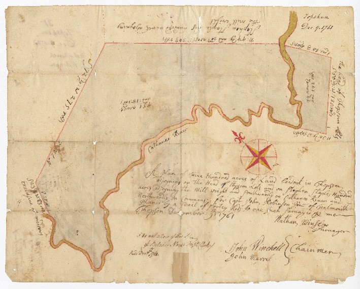
Help turn our collection of 17th-19th century handwritten documents relating to Maine's land history into text that may be more easily read, keyword searchable, and accessed by students, teachers, and historians.
Learn moreYou can do real research by clicking to get started here!
Zooniverse Talk
Chat with the research team and other volunteers!
Beyond Borders: Transcribing Historic Maine Land Documents Statistics
View more statsKeep track of the progress you and your fellow volunteers have made on this project.
Every click counts! Join Beyond Borders: Transcribing Historic Maine Land Documents's community to complete this project and help researchers produce important results. Click "View more stats" to see even more stats.
Percent completeBy the numbers
Message from the researcher
The collections in the Beyond Borders project are of immense value for students of early American history. This project will not only broaden public access to invaluable collections...but also preserve fragile documents for future generations.
Beyond Borders: Transcribing Historic Maine Land DocumentsAbout Beyond Borders: Transcribing Historic Maine Land Documents
Maine Historical Society received a grant in the summer of 2020 from the National Endowment for the Humanities to fully digitize three significant land collections covering 1625-1893. In addition to digitization, Maine Historical is making an effort to transcribe these collections for easier access to their historic content. Once completed, the digital representation of these collections and their transcriptions will be available through the Maine Memory Network.
Check back often as we will be adding additional images as we complete the digitization of these three collections!