FISHstory
Finished! Looks like this project is out of data at the moment!
FISHstory Volunteers – You’re Rock Stars! Thanks to your incredible efforts, every photo in our current FISHstory archive has now been classified. Our team is diving into data analysis, and we’ll be updating the results section in the coming months.
We’ve also scanned a new batch of historic photos, and we’re excited to begin processing them for addition to the project this summer. Stay tuned — there’s more FISHstory on the way!

Welcome to the FISHstory Project! We have four workflows where you can help us collect information from historic dock photos. Start with LEVEL 1 and unlock additional levels as you classify more photos. If you're not a fish ID expert, no worries! We welcome all and encourage you to use our Field Guide to help identify fish and provide your best guess. Thank you for your participation!
The collection of SAFMC FISHstory information is authorized under the OMB Control Number included in the Citizen Science & Crowdsourcing Information Collection page.
Zooniverse Talk
Chat with the research team and other volunteers!
FISHstory Statistics
View more statsKeep track of the progress you and your fellow volunteers have made on this project.
Every click counts! Join FISHstory's community to complete this project and help researchers produce important results. Click "View more stats" to see even more stats.
Percent completeBy the numbers
Message from the researcher
The Stone and Timmons families are encouraged by the FISHstory efforts... We are proud to help in this effort, and hope other SAFMC for-hire communities can provide similar historical images to augment FISHstory.
FISHstoryAbout FISHstory
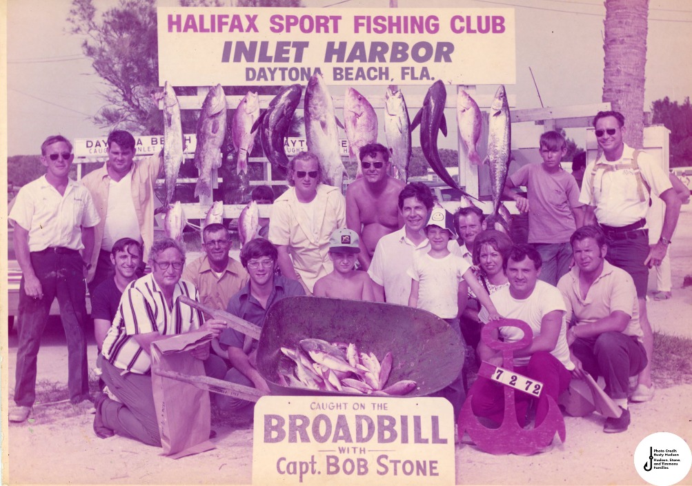
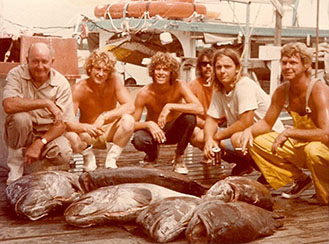
Travel back to the docks of the South Atlantic U.S. in the 1940s-80s through the South Atlantic Fishery Management Council's citizen science project, FISHstory. Catch monitoring programs for the charter and headboat fleets In the South Atlantic U.S. didn’t get underway until the late 1970s. These historic photos are an untapped source of information.
With your help, we can build a more complete picture of the South Atlantic fishery prior to dedicated catch monitoring programs. Knowing the relative amount and type of fish caught over time can provide insights on the health of fish populations. These data will not only help identify historic catches but can also help us figure out if there have been changes in catch over time. Thank you for your participation!

ACKNOWLEDGEMENTS
Photos for the initial FISHstory pilot project are from Captain Frank Timmons, along with Captain Jake Stone and Captain Bob Stone courtesy of Rusty Hudson. Additional photos have been provided by Captain Billy Smitherman, Captain Robert Freeman, Captain Rom Whitaker, Captain Chuck Griffin, Captain Jon Reynolds, Captain Richard Gomez and Captain Bill Wickers, Captain Judy Helmey and Miss Judy Charters, Captain Skip Nielsen, the Sanitary Restaurant and Jeff Garner, Florida Keys History Center / Monroe County Library, Cathy Owen and Charles C. Owen Jr., Bud N Mary’s Marina, Tom Hackey and Dick Brame, and Jerry Kurent.
Funding for the FISHstory project has come from NOAA Fisheries’ Fisheries Information Systems Grant Program, the Atlantic Coastal Cooperative Statistics Program, and the South Atlantic Fishery Management Council.
Species descriptions were created with the help of SharkCam Fishes provided by Erin Burge, Christopher O'Brien, and jon-newbie.
Burge EJ, CE O’Brien and jon-newbie. 2019. SharkCam Fishes. A Guide to Nekton at Frying Pan Tower. 4th edition.
Los Angeles: Explore.org Ocean Frontiers. 194 pp. Available online http://explore.org/live-cams/player/shark-cam.